 GiripremiGiripremi
By Ashish Sanjay Nawandhar
Thanglasgo, Hunder Valley, Nubra Region Leh Ladakh
34°23’37.4″N 77°25’52.9″E
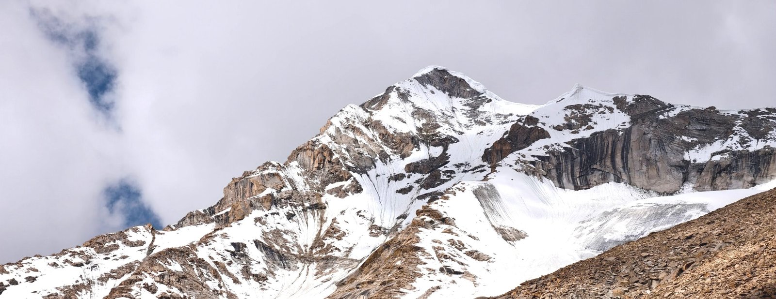
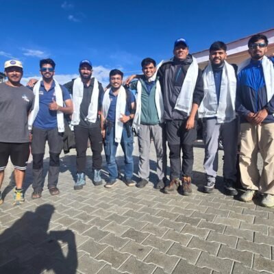
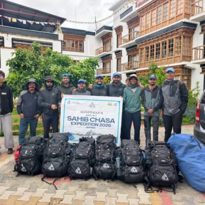
Mt. Sahib Chasa, a remote mountain in the land of Lamas that is Leh Ladakh. If you Google the name of this beautiful peak, you might find only 2 or 3 mentions of the mountain, deep within the trail leading off towards the Hunder River from Nubra Valley. In 2026, Giripremi undertook 3 high-altitude expeditions: Mt. Everest 2026, an all-women’s expedition to Mt. Mentok Kangri II, and an unknown route to Mt. Sahib Chasa. Over the years, we believe in Mountaineering for happiness and choose mountains beyond the popular names to bring the sport closer to people. The expedition team, led by Abhay Khedkar, included climbing partners Ajinkya Manjare, Kaushal Vadnere, Parth Mukadam, Chintamni Godbole, Advait Deo, and myself, Ashish Nawandhar. Our support staff included Mountain Guide Dawaji, Senior Chef Namgyalji, and our Nono, Jigmat.
Over the past 6 months since inception, the expedition team was training together. The team was the right combination of experience, climbing expertise, young energy, and passion. With the last records of the climb dating back to 2007, we prepared in terms of route planning and environmental challenges. We ensured to get in touch with previous climbers like Skalzan Rigzin and teams under Col. Bose. Several well-wishers supported us and stood as a wall behind our expedition. Our seniors at the club helped us make the planning and preparation ironclad, away from civilization and range, deep into the Valley. The day came close, and we began our journey on the 19th July, 2026.
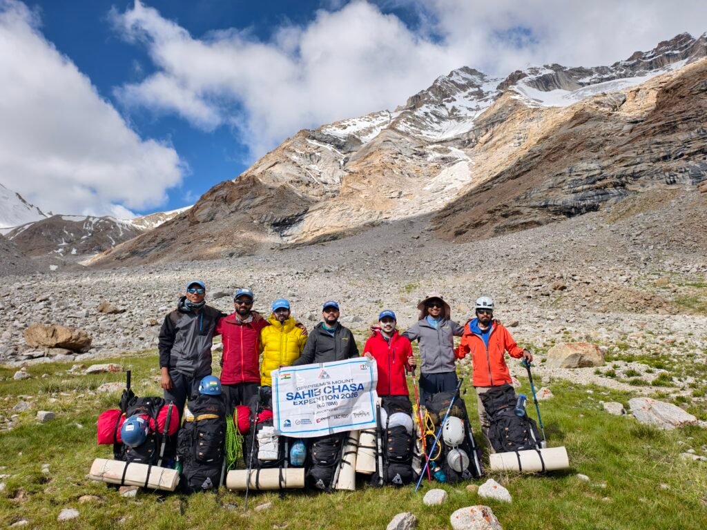
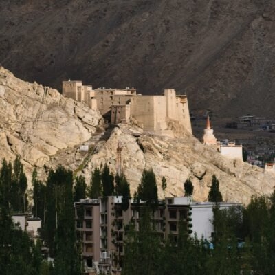
The team reached Leh on day 1. At 3,500+ meters, the city offers a challenge to acclimatization while providing our souls with the pleasure of Himalayan views. The first challenge for the team showed up as soon as we reached Leh; it was the rain gods pouring down in a cold desert. We spent the first three days in Leh for acclimatization, by exploring the city’s famous Leh Palace and Shanti Stupa. With bags packed and equipment loaded, we started our journey towards our road head, Wachen on Day 4. From Nubra’s Hunder, the road traversed into a remote valley following the Hunder river; we reached Wachen and set up camp for the night. As a part of the expedition, the team was expected to ferry all the camping and food load, manage the tents, and help the support staff in all the chores.
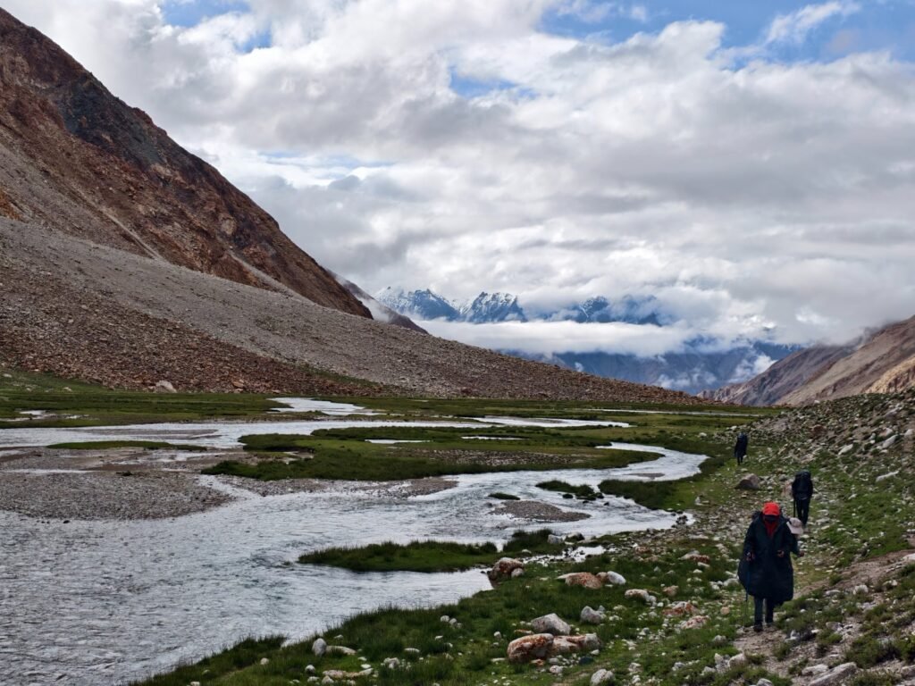
The next morning, we started our journey into the valley; our destination was Thanglasgo, our base camp, 14 KMs away and 800 meters in elevation gain from Wachen. On our way to Thanglasgo, we crossed beautiful villages of Hunder Dok, overwhelming river views, several gorges leading to majestic 6000er peaks, marshy grasslands, shepherd sites, and colonies of Marmots. Our small and remote basecamp on the side of the Hunder river became our control center for the next few days. The next day we took an acclimatization walk as our chance for reconnaissance and trekked halfway through to our Advance Base Camp. We finalized and packed our equipment, rations, fuel, and personal clothing for the ferry to Advance Base Camp and finalized our plan ahead. As we were leaving civilization, the last report regarding weather from the Giripremi team back home was that our weather window for the summit was short; that is, either the 26th night or 27th night is the only two days we can attempt the push towards Mt. Sahib Chasa. The earliest day that we could ferry the load, considering our acclimatization, was 26th July 2026, and we would accordingly occupy the camp on 27th July 2026 by afternoon.
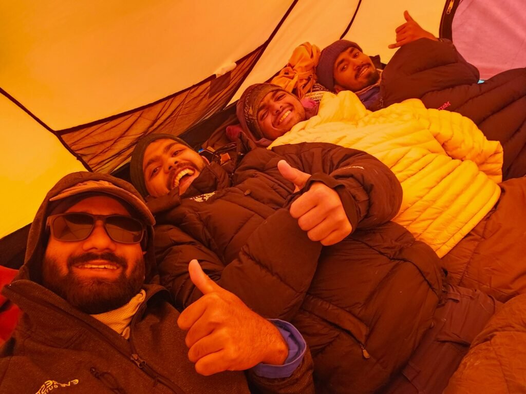
The team decided we would attempt the summit push on the same night that we occupied the advance base camp. With an early dinner at 4 pm and the clock hands of 12:30 am in sight, the team went for lights off by 05:00 pm in the evening. We began our summit push with Dixit Food’s amazing kheer and the sight of the pleasing crown prince, Mt. Sahib Chasa, in our minds. It was planned that we would reach the glacier field by 5 am in the morning and move on to the most feasible ridge in the light! The team started from the snout of Thanglasgo, traversed the moraine in the dark, and reached the start of the glacier by approximately 1:30 am. We jumared up a small patch of Ice to reach the first tongue of the glacier and climbed up the tongue at an angle of roughly 45-50 degrees. The angle went up to 55-60 degrees in the last patch before the glacial field. It was a sight that I have never experienced before, as I could see heavy melting along the glacier at 3 am in the morning. But the team showed excellent performance in challenging conditions and reached the glacial field by 4 am in the morning at 5200 meters. In the dark, the Ice and Moraine wall just below the Peak, in an ‘A’-shaped glacial field, was difficult to approach through the decided first ridge of the moraine field. Thus, our Sherpa Dawaji found a route from the ‘I’ point of the ‘A’-shaped field, considering the safety of each climbing member. The mighty Mt. Sahib Chasa stood tall at the right corner point of the ‘A’-shaped field; we were at the left corner point of the A-shaped field, and the approach was through the ‘I’ point, which is the center point of the field.
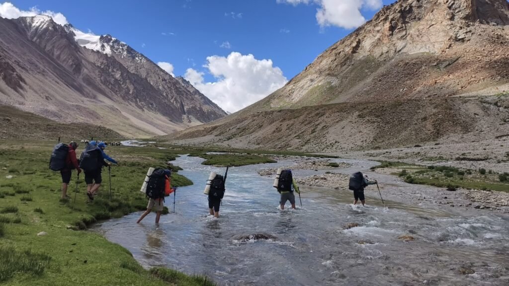
The team reached 5350 m at the glacier field by 4:30 am. The first team, consisting of Dawa Sherpa, Ajinkya Manjare, Kaushal Vadnere, and Parth Mukadam, approached the summit through a longer and steeper ice climbing route, tackling crevasses, moraine, and up to a 70-degree ice wall at the above-mentioned ‘I’ point of the glacial field. The team crossed the glacial field, roped up to tackle the risk of crevasses, and then approached the face at the opposite end of the glacial field from the peak (seemed to be the most feasible face in the dark). They climbed up a 70-degree wall to find the knife ridge traversing for about a kilometer towards the peak. The team was traversing through a 65-degree wall consisting of Ice face and loose Moraine Boulders of up to 15-20 meters, on the front point of their crampon. The second team, consisting of Abhay Khedkar, Ashish Nawandhar (myself), Chintamani Godbole, and Advait Deo, started to walk towards the face with the first light and noticed that the route that team 1 had taken seemed to be quite riskier in the light, considering the risk of rockfall from above and increasing gradient as they moved towards the summit. I remember myself giving a call to Abhay at the end of our rope, “This doesn’t seem to be the route; we are risking too much on this traverse, and there is a looming threat of rockfall above our complete team over the route”. Abhay quickly responded and gave a call to Dawaji on the walkie to reconsider the route, while looking for another approach from between the Ice wall and Moraines for an approach to the summit. The first team did some reconnaissance and decided to push further towards the summit, while the second team, including myself, decided to turn around and walk to the terminal of the glacial field to find a different approach. In a while, Ajinkya from the above team, in discussion with Abhay, gave a call that they were calling off the approach; the team had started facing rockfall due to increased melting above after sunrise.
While the second rope and I were approaching the terminal of the glacial field, I said to Chintamani, “Isn’t that first ridge at the terminal something we climb in Sahyadri?” He quickly responded, “Definitely yes! That looks like our home playground in Sahyadris”. This was where we took a call to approach the summit push through the first ridge full of moraine. We refueled ourselves with snacks and water and started the approach to the new route identified by the team by 08:15 am in the morning. The route that we were now approaching had 3 distinct gradients at 3 steps. The first part was comparatively gradual and had a lower gradient with smaller boulders which were stable while we attempted to climb through them. The second part increased in gradient, and we could see the boulders slipping as we stepped onto each one of them. And the third part was a test, as the gradient went up to 55 degrees and boulder size beyond 15-20 meters. Amongst the slipping boulders while leading the route, I looked back at Abhay at each boulder; going up felt safe, but coming down was a question. We exchanged multiple calls with Dawaji, who was climbing through a neighbouring marine gully along with Parth.
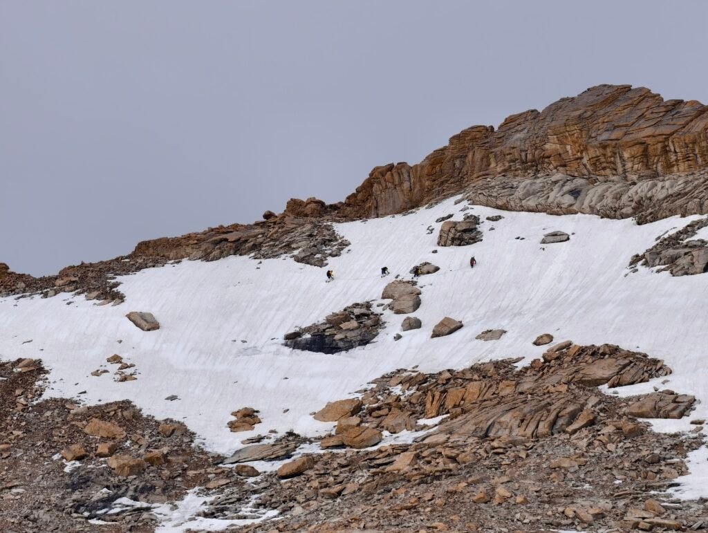
All four of us climbing in team 2 reached the top of the third part to view flags that were put up by a team of mountaineers who reached up the mountain at 5730 meters in June. Further was another 400 meters, with the snowline starting at 5800 meters and a further push to the top. Dawaji had reached up to the snowline that continued towards the peak along with Parth. He was two moraine ribs behind us from the Peak, and he gave a call that snow conditions were not favourable and there was excess melting and wet snow causing extreme risk of disasters like avalanches in the last part of the climb. It was 09:30 am, in the morning and I and Abhay decided to move towards the snowline to push as much as we could and then take a call with regards to the movement and further summit push. At 5809 meters, with the start of the last section of glacier patch to the summit, we experienced that our feet were drenching ankle deep into the snow, wet crystals were accumulating in our crampons, and a warning call from our teammates below in the glacial field that they saw an avalanche. Kaushal and Ajinkya, who had to abandon the extreme climb in the first rope, were moving down the glacial field and were at a vantage point to observe our climb and the risks that it entailed. They gave a call to Abhay and me on walkie that they saw an avalanche rupturing about 100 meters left of us towards our route to the summit.
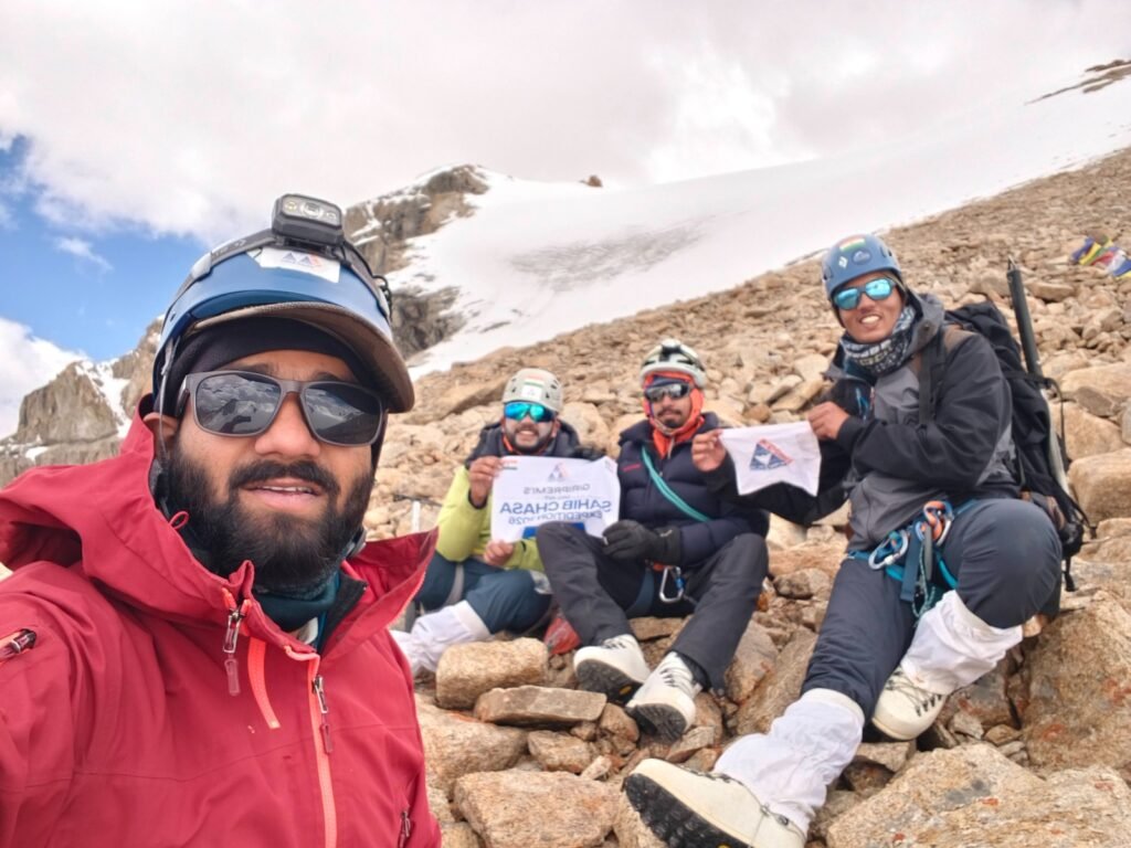
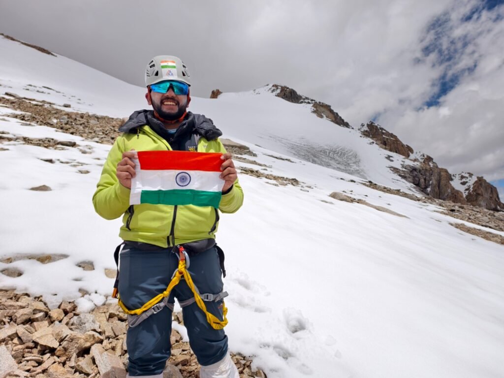
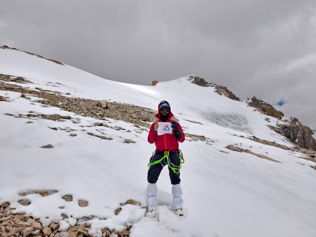
Abhay and I spent about 20-25 minutes moving forward towards the summit. However, due to the hazardous combination of wet, soft snow, avalanche-prone conditions, and a leaning cornice, we called off the summit push at 5800+ meters. It felt like we were leaving something there, probably a small piece of our heart, and taking away so much in the form of learnings, courage, empathy, and leadership for what the mountain taught us!
The thought of another attempt kept running in all our heads back to the Advance Base Camp, but the weather conditions kept on deteriorating. The next morning, it sank our hearts to even move towards the Basecamp. The collective load was being taken down by the team, but the load that day felt lighter than the responsibility we had to come back for our supporters. But what the team achieved was a significant milestone: to reestablish the route to the remote peak after 19 years. The team was able to approach 5800+ meters through 3 routes in a 15-hour summit push, with difficult weather conditions, and a young team of budding mountaineers.
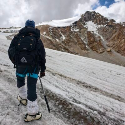
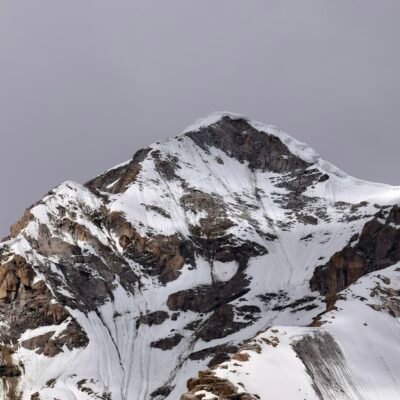
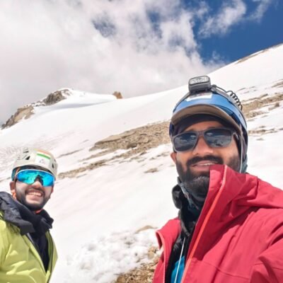
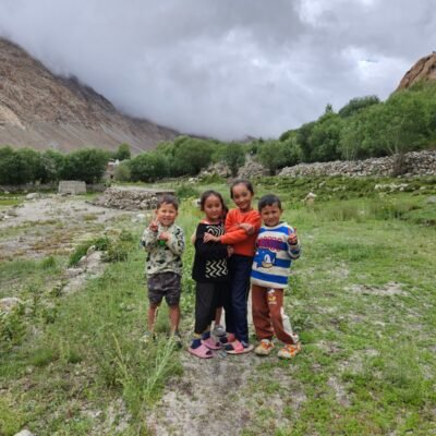
The valley of Thanglasgo is a remote valley in the Nubra Region of Leh Ladakh. Mt. Sahib Chasa sits tall and prominent on top of the ridge, only to appear upon reaching basecamp. It definitely asked us to return, giving us an experience in geology, geography, and personal growth that we carry to the people we lead, ANU students we teach, and ourselves.
The team is taking back the responsibility to take the tri-colour to the top in the coming seasons with stronger practice. We plan to start earlier next season to tackle changing weather patterns. Our team and I are thankful to Enpro Industries, IAC Group, Tripole Gears, Trail Mountain Gear Store, Avlon International Heights School, GGIM, GAF, NMV School, Dixit Foods, and Giripremi Mountaineering Club. We also thank our mentors Umeshji Zirpe (Mama), Ashish Mane Dada, and our full climbing and support team. My heartfelt gratitude to the peak for allowing us to climb to 5800 M and await the passage to the top while we prepare for the future attempt.